The Richat Structure: Deciphering the Eye of the Sahara
Resting in the heart of the Adrar Plateau of central Mauritania, Guelb er Richat is a near-perfect concentric circular formation spanning forty kilometers across. Long scrutinized by early astronauts and planetary geologists, it represents one of Earth's most striking orbital signatures.
From Impact Theory to Alkaline Magmatism
When astronauts during the Gemini IV mission in 1965 photographed the formation, planetary geologists first theorized that the Richat Structure was an impact crater caused by a colossal extraterrestrial meteorite. Its circularity, raised rims, and isolated location made this extraterrestrial hypothesis compelling.
Subsequent ground campaigns and geochemical expeditions spearheaded by geologists such as Guillaume Matton led to the discovery of planar shock metamorphism absence: quartz grains lacked shock lamellae, and no coesite or stishovite high-pressure polymorphs were discovered. Instead, the rocks told a story of deep continental magmatism.
The structure is an alkaline igneous complex created during the Cretaceous period roughly 100 million years ago, when the breakup of the Pangaea supercontinent initiated widespread rifting and mantle plumes beneath northwest Africa.
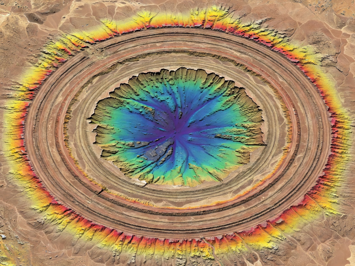
Differential Weathering & Cuesta Geometry
The concentric appearance of the Richat Structure is an extraordinary exhibition of differential erosion acting upon alternating lithologies. The structure contains resistant Proterozoic quartzites that alternate with softer, highly soluble limestone, dolomite, and carbonatite dikes.
Over tens of millions of years of subaerial exposure, rainwater, flash floods, and relentless aeolian deflation scraped away softer rock layers, leaving dramatic concentric ridges known as cuestas that elevate several hundred meters above the desert floor.
At its center sits a colossal siliceous breccia body measuring over three kilometers in diameter, formed through hydrothermal collapse and hydraulic fracturing as subterranean gases erupted through overlying sedimentary caps.
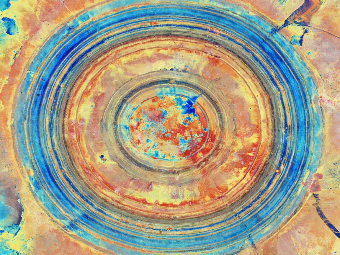
Stratigraphic & Satellite Parameters
Key physical, chronological, and orbital observation metrics documented for the Richat formation.
| Parameter | Value / Specification | Geological / Sensor Significance |
|---|---|---|
| Geographic Coordinates | 21° 07′ 30″ N, 11° 24′ 13″ W | Adrar Plateau, Ouadane, Mauritania |
| Outer Diameter | 40 kilometers (approx. 25 miles) | Visible simultaneously in single Landsat WRS-2 scenes |
| Formation Age | ~98 to 104 Million Years (Cretaceous) | Corresponds to the early opening of the Central Atlantic |
| Dominant Core Lithology | Hydrothermal Siliceous Megabreccia | Product of deep explosive dissolution collapse |
| Primary Sensor Suites | Landsat OLI, Sentinel-2 MSI, Terra ASTER | SWIR bands 11/12 highlight clay and carbonate variation |
| Astronaut Navigational Utility | Visual Benchmark since Gemini IV (1965) | Zero cloud interference in high-albedo Sahara desert |
Why the Richat Structure Still Captivates Remote Sensing Scientists
Beyond its aesthetic perfection, the Richat Structure serves as a planetary analog. Astrobiologists and remote sensing teams comparing terrestrial radar data with synthetic aperture radar imagery from Venus (such as Magellan's imagery of arachnoids and coronae) and Mars (sub-volcanic ring complexes) use Guelb er Richat to understand how planetary surfaces weather in the absence of oceans.
Because hyper-arid conditions preserve rock exposures without soil or dense vegetative cover, every ring, fracture, and radial fault is crisp and unobscured. It is Earth's textbook of structural dome formation, written across a forty-kilometer stone tablet.