Vanishing Inland Seas: The Orbital Record of Desiccation
Endorheic basins—lakes with no outlet to the world ocean—are Earth's most delicate hydrologic barometers. Over five decades of spaceborne monitoring, Earth observation satellites have charted the collapse of vast freshwater and hypersaline inland seas into windswept salt flats.
The Aral Sea: Creation of the Aralkum Desert
In 1960, the Aral Sea was the fourth largest inland water body on Earth, spanning 68,000 square kilometers. Fed by the mighty Amu Darya and Syr Darya rivers, it supported commercial fishing fleets and stabilized regional temperatures.
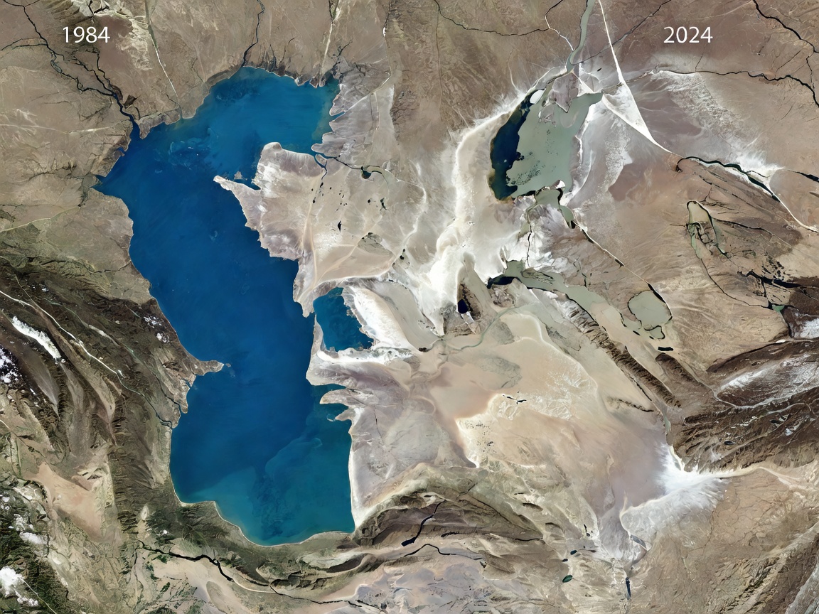
Massive river diversion programs for cotton irrigation stripped the sea of its recharge. When Landsat 1 turned its multispectral scanner toward Central Asia in 1972, the initial shoreline retreats were already discernible. By 2014, orbital sensors on NASA's Terra satellite captured an unprecedented milestone: the eastern lobe of the South Aral Sea had completely dried up for the first time in modern history.
Today, orbital radar and optical sensors track toxic salt and dust storms blowing off the new 5.5-million-hectare Aralkum Desert, which carries agricultural chemicals across thousands of kilometers into the Himalayan snowpack.
Lake Urmia & Lake Chad: Shifting Basins
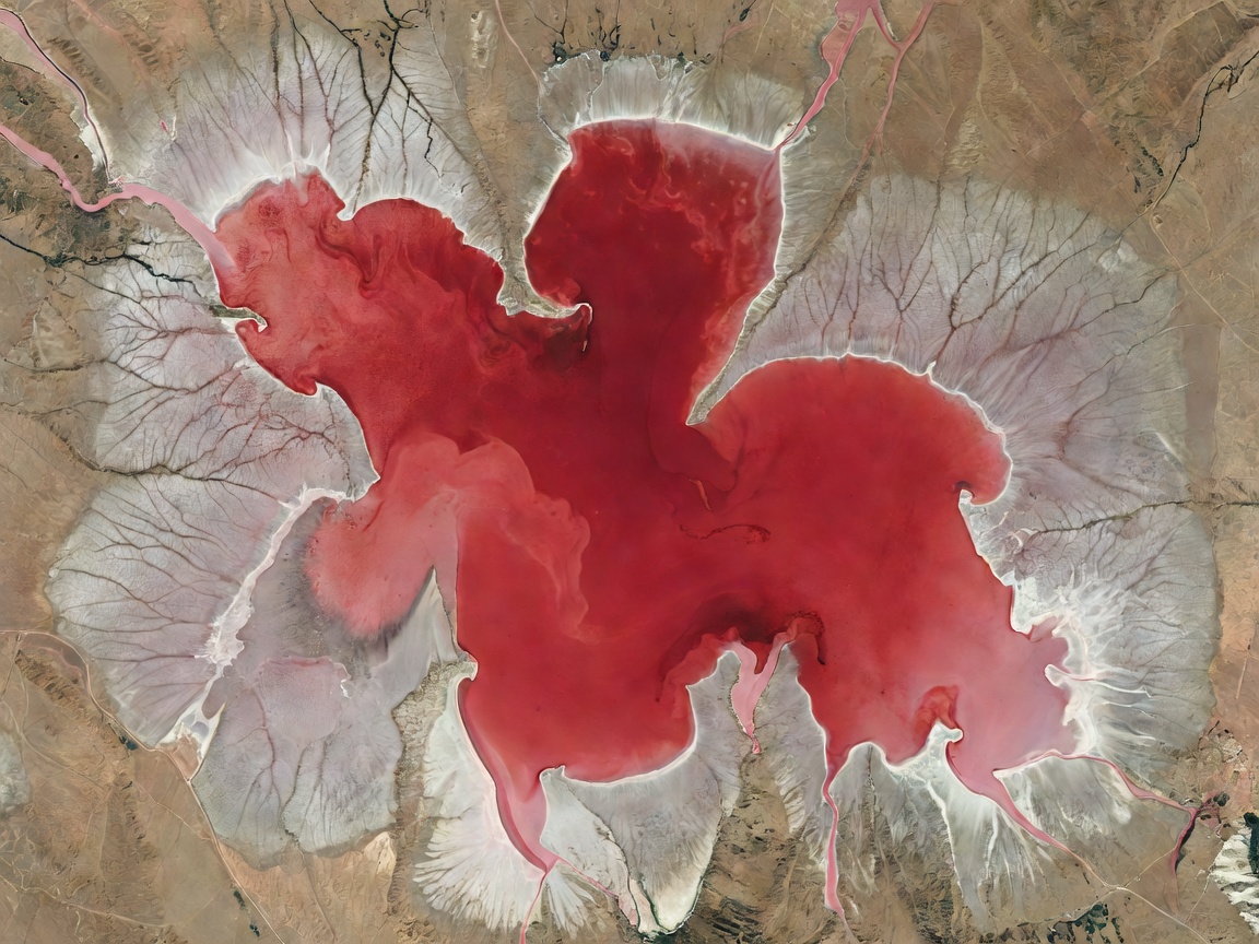
In northwestern Iran, Lake Urmia was once one of the largest hypersaline lakes globally. Between 1995 and the present day, satellite imagery tracked an 80% surface area reduction driven by dam construction, groundwater overdraft, and persistent regional droughts.
As Urmia's salinity climbed beyond 300 grams per liter, satellites equipped with the Moderate Resolution Imaging Spectroradiometer (MODIS) recorded a bizarre visual phenomenon: the entire water body shifted from deep turquoise to blood red. Microorganisms—specifically halophilic algae Dunaliella salina and archaea belonging to the family Halobacteriaceae—produced carotenoid pigments in response to hyper-salinity.
Simultaneously in the African Sahel, Lake Chad's shrinkage from 25,000 square kilometers in the 1960s to fragmented archipelago pools demonstrated how vulnerable shallow terminal basins are to shifting monsoonal belts and escalating human extraction.
Comparative Desiccation Metrics
Satellite-quantified surface water retreat across Earth's major endorheic basins.
| Basin Name | Location | Peak Area Record | Recent Area Minimum | Observed Decline |
|---|---|---|---|---|
| Aral Sea | Kazakhstan / Uzbekistan | 68,000 km² (1960) | ~6,100 km² (Fragmented) | -91% |
| Lake Urmia | Northwestern Iran | 5,200 km² (1995) | ~1,000 km² (Highly Variable) | -80% |
| Lake Chad | Chad / Cameroon / Niger / Nigeria | 25,000 km² (1963) | ~1,500 km² (Seasonal pools) | -94% |
| Lake Poopó | Bolivian Altiplano | 3,100 km² (1986) | Virtually 0 km² (Periodic dry bed) | -99% |
| Great Salt Lake | Utah, United States | 8,500 km² (1987) | ~2,500 km² (Historic low 2022) | -70% |
The Satellite Method: Detecting Moisture from Orbit
Hydrologists use multispectral indices like the Modified Normalized Difference Water Index (MNDWI) to differentiate open water surfaces from damp mudflats and dry mineral crusts. By calculating the ratio between the green optical spectrum and short-wave infrared (SWIR) reflection:
MNDWI = (Green - SWIR) / (Green + SWIR)
Water strongly absorbs short-wave infrared wavelengths, while dry soils and built environments strongly reflect them. This mathematical ratio produces crystal-clear masks that allow orbital programs to compute lake surface boundaries down to a 10-meter spatial precision, day after day, across decades.