The Nazca Geoglyph Network
Carved by removing reddish-brown iron oxide-coated desert stones to expose white plaster-like subsoil, these Peruvian geometric grids and animal contours require altitude to fully appreciate.
When observed from hundreds of kilometers above the geoid, Earth's surface resolves into geometric compositions. Some are carved by relentless unidirectional atmospheric winds across eons; others are engineered overnight by human infrastructure, deep water agriculture, and aquaculture networks.
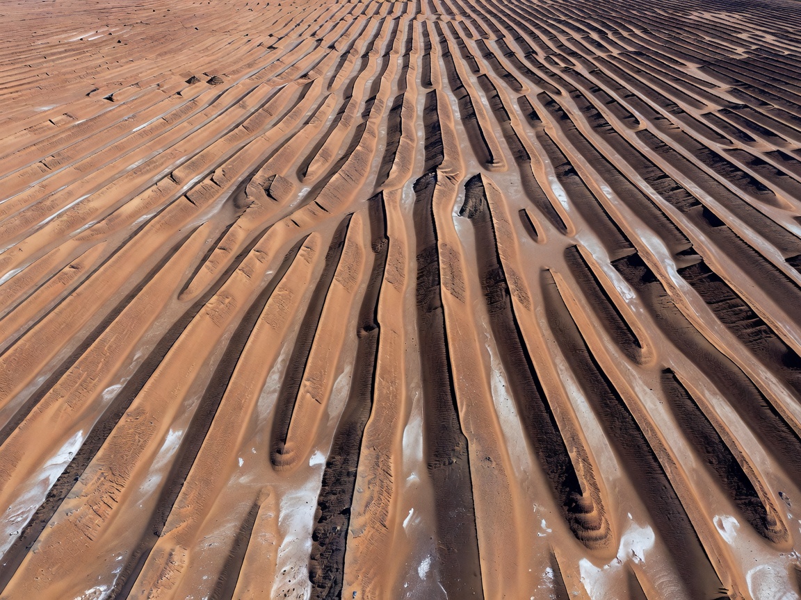
In the Dasht-e Lut desert of southeastern Iran—consistently recorded as one of the hottest surface spots on Earth by Aqua satellite MODIS sensors—prevailing winds blowing from the northwest for 120 consecutive days each summer have sculpted the world's most dramatic yardang field.
Known locally as the Kaluts, these features resemble long, parallel ridges and trenches carved directly into lacustrine siltstones. From orbital cameras, they appear as immense, corrugated geometric grooves sweeping in uniform direction for 150 kilometers, looking less like natural terrain and more like colossal aerodynamic turbine blades.
Satellite thermal infrared sensors reveal sharp temperature deltas across each ridge: windward bedrock surfaces can surpass 70°C, while leeward trenches trap cooler, reflective dust plumes.
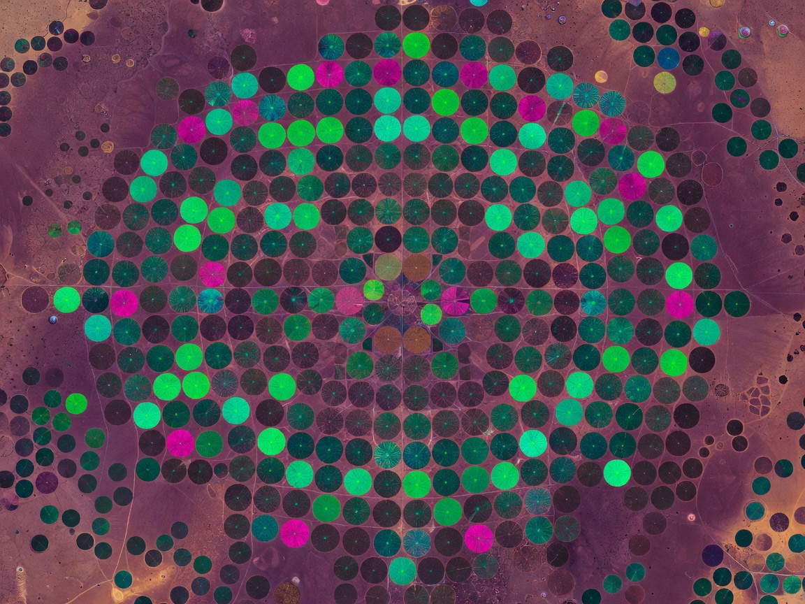
Perhaps the most unmistakable human footprint visible from low Earth orbit is the circular mosaic produced by center-pivot irrigation systems. In the Wadi As-Sirhan Basin of northern Saudi Arabia, as well as the Ogallala Aquifer region in the central United States, thousands of perfect green circles stand out against hyper-arid sand.
Each circle measures up to one kilometer in diameter, watered by an automated rolling sprinkler arm rotating around a central deep well that draws fossil groundwater deposited during the last glacial maximum.
Orbital Normalized Difference Vegetation Index (NDVI) mapping tracks crop health in real-time, producing vibrant emerald polka-dot patterns that contrast starkly against arid bedrock.
A curated taxonomy of macro-structures cataloged across continental landmasses.
Carved by removing reddish-brown iron oxide-coated desert stones to expose white plaster-like subsoil, these Peruvian geometric grids and animal contours require altitude to fully appreciate.
When low-altitude cloud decks blow past isolated oceanic islands like Guadalupe or the Canary Islands, satellites capture magnificent counter-rotating swirling eddies stretching for hundreds of miles.
Along the coast of Jiangsu Province, China, and the shallow bays of South Korea, orbital synthetic aperture radar records thousands of hectares of bamboo stakes and tidal grids forming orthogonal labyrinths.
Studying macroscopic patterns from orbit bridges the gap between field geology and planetary astronomy. What appears disordered on the ground—such as an isolated sandstone cliff or an expanse of desert dunes—becomes a coherent thermodynamic process when viewed at continental scale.
As earth-observation satellites achieve higher temporal frequencies and hyperspectral capabilities, our catalog of dynamic patterns expands: tracking the calving of megaberg A-76, tracing deep phytoplankton swirls in the South Atlantic, and mapping deforestation geometries across the Amazon basin.
Essential cookies keep this site working. Optional ones help us see what is useful. You can change your choice at any time. Cookie policy