Unmasking Earth’s Buried Hypervelocity Craters
Unlike the Moon or Mars, Earth possesses an active tectonic engine, dense atmospheres, and relentless hydrological erosion that swallow impact craters. To find the scars of prehistoric cosmic collisions, geophysicists turn to satellite radar, gravitational gradient sensors, and multispectral analysis.
The Kebira Crater & Sand-Piercing Synthetic Aperture Radar
Dry silica sands with low dielectric constants act almost like glass to specific microwave wavelengths. When synthetic aperture radar (SAR) instruments such as the Shuttle Radar Topography Mission (SRTM) and ALOS PALSAR beam L-band microwaves (wavelengths around 23 cm) over hyper-arid deserts, the pulses penetrate up to two meters beneath active sand dunes.
In 2006, remote sensing researchers Farouk El-Baz and Eman Ghoneim utilized satellite radar data to identify the gigantic Kebira Crater straddling the border between Egypt and Libya. Spanning 31 kilometers in diameter, this double-ringed astrobleme was completely concealed from human optical vision by the moving sand sheets of the Great Sand Sea.
Its discovery provided a viable origin site for the enigmatic "Libyan Desert Glass"—pure yellow-green silica impactite fragments strewn across hundreds of square kilometers of North African desert.
The Chicxulub Ring of Cenotes & Orbital Gravity
The asteroid impact that terminated the non-avian dinosaurs 66 million years ago left a crater 180 kilometers in diameter. Yet, walking across the Yucatán jungle today reveals flat limestone plains with no towering crater rim.
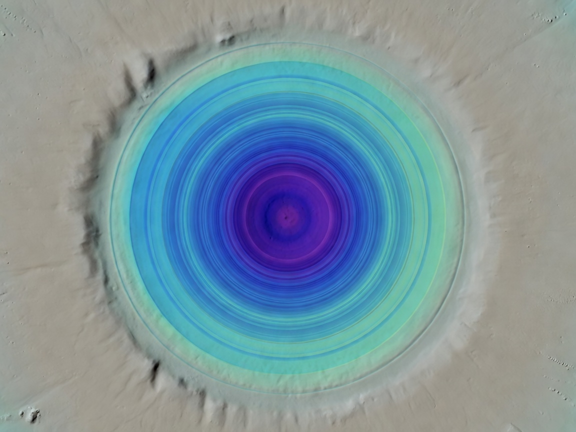
Orbital topography from spaceborne radar altimetry and satellite gravimetry told the real story. High-precision elevation models demonstrated that groundwater dissolved limestone preferentially along the buried crater rim, forming an unmistakable semicircular chain of sinkholes: the famous Ring of Cenotes.
Furthermore, orbital missions measuring Earth's gravity field, such as GRACE and GOCE, identified massive concentric gravity lows. The asteroid shattered deep crustal basement rock, lowering its bulk density compared to undisturbed adjacent continental crust.
Major Satellite-Decoded Terrestrial Craters
Astroblemes discovered, verified, or structurally detailed via satellite remote sensing.
| Crater Name | Location | Diameter | Estimated Age | Primary Detection Modality |
|---|---|---|---|---|
| Vredefort Dome | Free State, South Africa | ~300 km (Original) | 2.02 Billion Years | Multispectral geological mapping & uplift structure |
| Chicxulub Crater | Yucatán, Mexico | ~180 km | 66 Million Years | Orbital radar topography & GRACE gravity anomalies |
| Manicouagan Reservoir | Quebec, Canada | ~100 km | 214 Million Years | Optical space imagery of ring lake ("Eye of Quebec") |
| Kebira Crater | Libya / Egypt Border | ~31 km | ~28–30 Million Years | P-band & L-band Subsurface Radar Penetration |
| Hiawatha Crater | Northwest Greenland | ~31 km | 58 Million Years | Ice-penetrating airborne radar & Sentinel ice flow tracking |
How Radar Altimetry & InSAR Illuminate Invisible Fractures
Interferometric Synthetic Aperture Radar (InSAR) pairs two satellite radar images of the same location taken at different angles or intervals. By comparing the phase shifts of the returning microwave signals, orbiters measure millimetric movements of the Earth's crust.
Around buried impact rings, differential compaction of sediment layers over millions of years produces micro-subsidence signatures along fault lines that are completely undetectable to observers standing on the surface, but glow brightly in satellite phase differential interferograms.